When is Storm Gladys due to hit the UK and is Storm Franklin now over?
Many are wondering when is Storm Gladys due to hit the UK as forecasters issue warnings for snow, lightning and high winds...
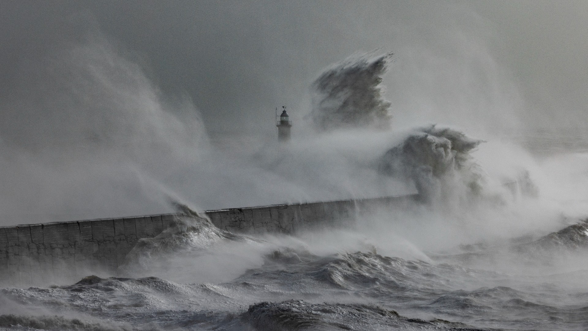

When is Storm Gladys due to hit the UK is the question on many people’s minds as the country braces for more treacherous conditions following on from Storm Franklin.
February has been quite a month, with three major storms arriving in quick succession over the past week. The high winds and risk of “danger to life” soon grew to terrifying levels as Storm Dudley ended and Storm Eunice made its presence felt. Described as the worst storm to batter the UK for three decades, Storm Eunice saw forecasters issue multiple red weather warnings as Brits were urged to avoid travel unless strictly necessary. In the aftermath of this terrible storm and Storm Franklin which followed it, many people were likely left wondering—is there another storm coming as the weather outlook remained unsettled.
Now Storm Gladys draws ever closer, threatening snow, winds and lightning. But when is Storm Gladys due to hit the UK, where will it hit and is Storm Franklin now over?
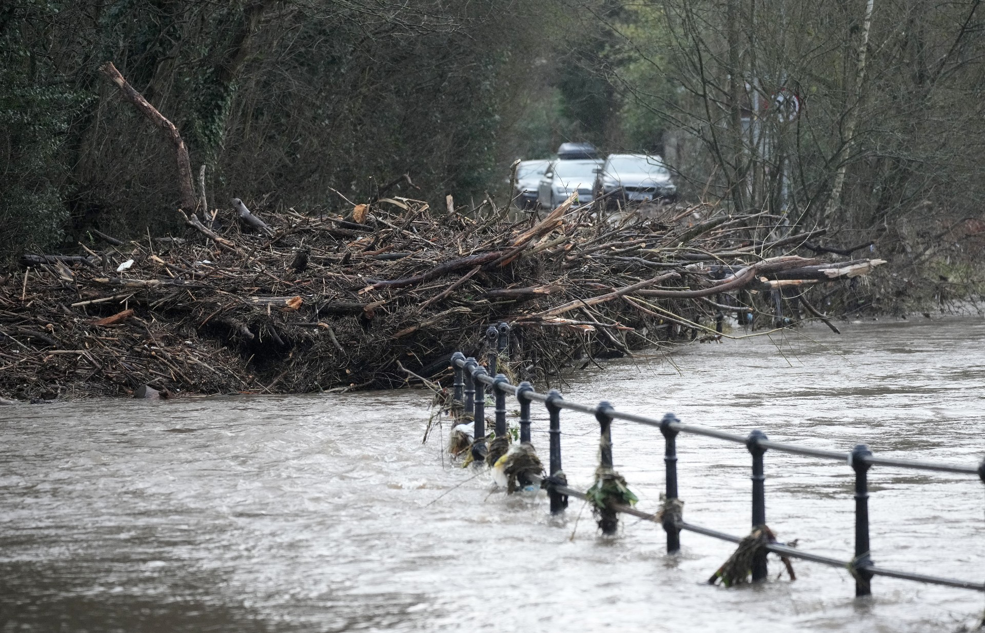
Debris lays across Ford Lane in Northenden as water levels of the River Mersey begin to recede after Storm Franklin.
When is Storm Gladys due to hit the UK?
Though many of us are asking when is Storm Gladys is due to hit the UK, Storm Gladys is not actually Storm Gladys yet. Storms receive names when they have the potential to cause an amber or red weather warning, considering how likely they are to have an impact and the level of the impact itself.
At the moment only yellow weather warnings have been put in place, though with severe flooding warnings issued by the Environment Agency, some are suggesting this could change over the next few days and a new storm could be named.
⚠️ Yellow weather warning updated ⚠️Snow and lightning across parts of Northern Ireland and ScotlandWednesday 1700 - Thursday 2000 Latest info 👉 https://t.co/QwDLMfRBfsStay #WeatherAware⚠️ pic.twitter.com/q7yetUqkOGFebruary 23, 2022
If this is the case, then following the alphabetical naming conventions of storms, it’s expected to be called Storm Gladys. It’s thought that the unofficial Storm Gladys could hit the UK from Wednesday February 23rd. This is the day when the first of the Met Office’s weather warnings begins and predicts winds, lightning and major snow in the UK could batter huge swathes of the country. Whether or not the weather front could develop enough to become Storm Gladys remains to be seen over the coming hours and days.
Where will Storm Gladys hit?
With the as-yet-unnamed Storm Gladys expected to hit from February 23rd, the Met Office has already issued multiple yellow weather warnings for northern regions of the UK, including Scotland, Northern Ireland, northern England and the Midlands. In place from 17:00 that day to 20:00 on Thursday, February 24th, the Met Office’s yellow warning for snow and lightning covers much of Scotland and Northern Ireland.
Sign up for the woman&home newsletter
Sign up to our free daily email for the latest royal and entertainment news, interesting opinion, expert advice on styling and beauty trends, and no-nonsense guides to the health and wellness questions you want answered.
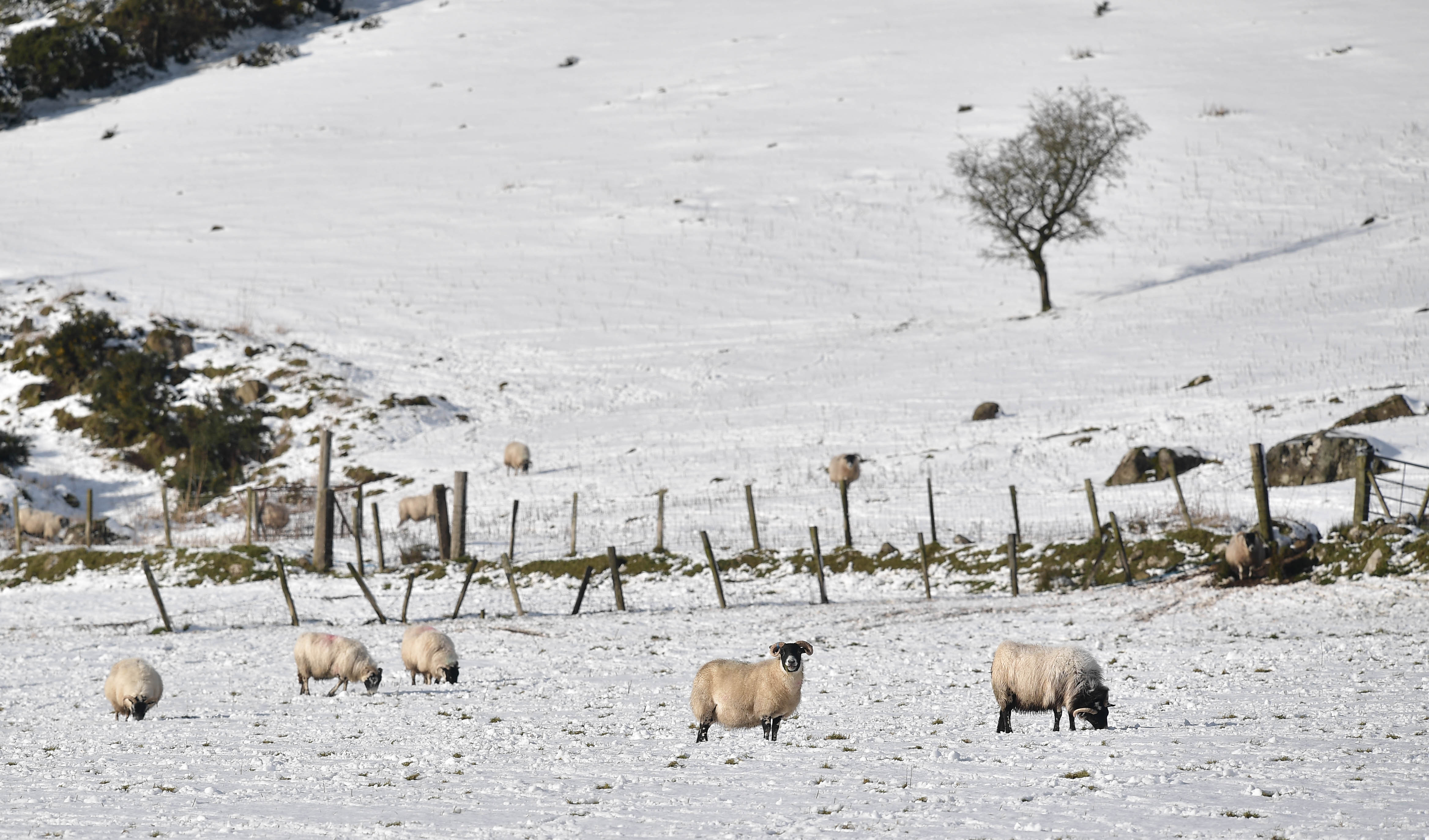
Sheep are seen in fields covered in snow during Storm Eunice on February 18, 2022 in Portstewart, Northern Ireland.
Meanwhile, on Thursday, the Met Office’s yellow weather warning for snow and lightning in Scotland and Northern Ireland remains in place, showing the unofficial Storm Gladys has no intention of easing quickly. The warning predicts “frequent heavy snow showers” as well as a chance of “frequent lightning” and “very gusty winds” affecting some areas.
The Met Office warn that temperatures across Scotland and Northern Ireland are expected to plummet dramatically on Wednesday as heavy snow showers are brought in from the Atlantic Ocean. They suggest that away from immediate west-facing coasts, between 1-7cm of snow could build up even at lower levels, though by Thursday morning it’s thought that as much as 10-20cm could have amassed.
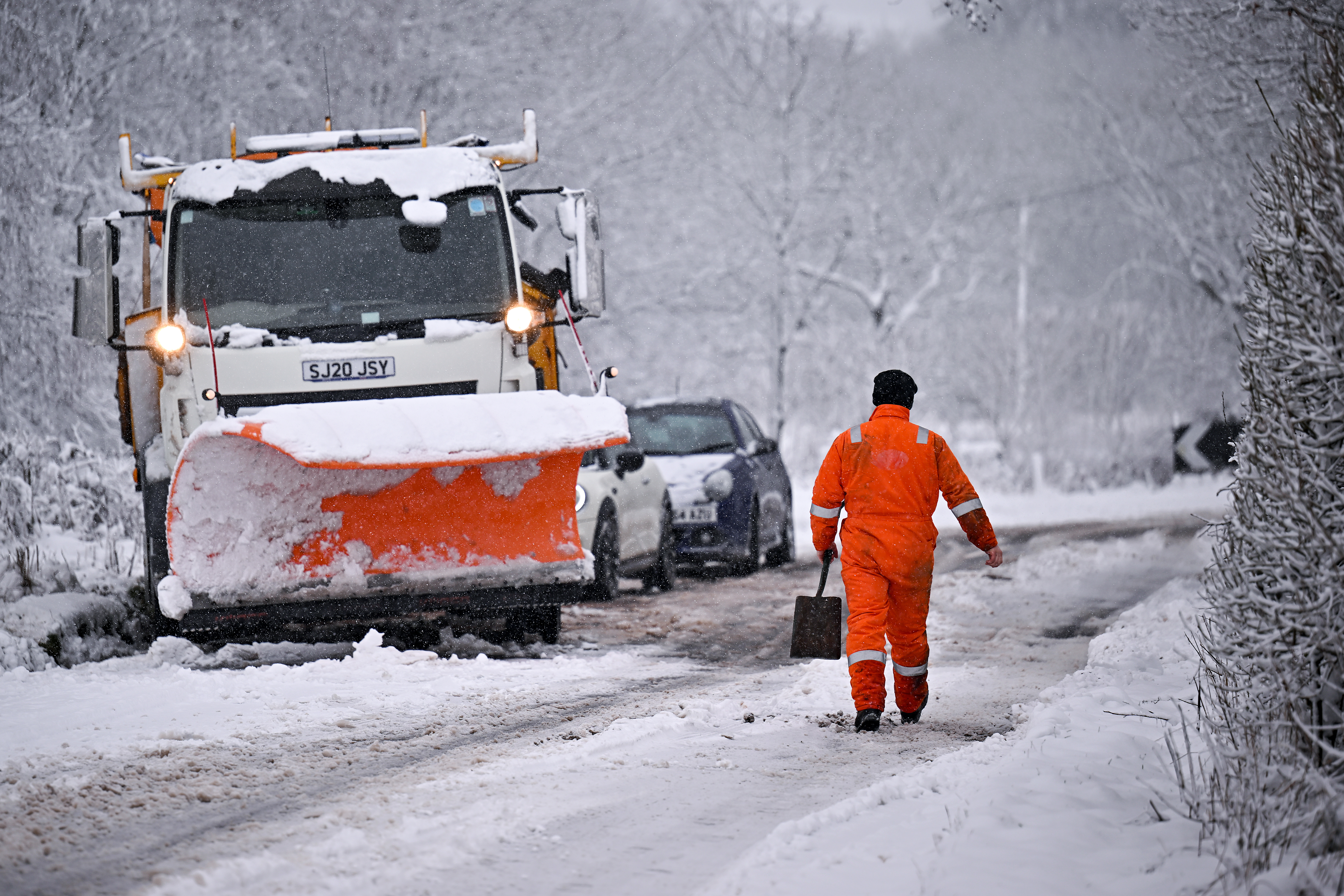
A snow plough receives assistance after coming off the road on February 18, 2022 in Balfron.
Blizzard conditions in Scotland and Northern Ireland are likelier over areas of higher ground and could also be accompanied by strong winds that could reach speeds of between 45-55 mph or even 65 mph on the coasts. The Met Office also believes there’s a “small chance” of lightning that could cause disruption to power supplies.
But it seems that Scotland and Northern Ireland aren’t the only areas where people will be reaching for their best winter boots and warmest leggings this week. There is also a yellow warning in place for wind for parts of south eastern Scotland and the north east of England until 15:00 on Wednesday.
Meanwhile, the Environment Agency have now issued two severe flood warnings for February 23rd and revealed there’s a risk of “danger to life” posed by the conditions brought by the unofficial Storm Gladys on top of the flood damage done by Storm Franklin.
We still have 2 severe #flood warnings remain in place at #Ironbridge & Beales Corner, Bewdley, on the #RiverSevern alongside numerous warnings & alerts across the #Midlands. The river has peaked in #Ironbridge but we are monitoring it closely as it travels down the #RiverSevern pic.twitter.com/IEz0qj2jP9February 23, 2022
A severe flood warning is in force for the River Severn at Wribbenhall, Bewdley in Worcestershire and another is in force for the River Severn at the Wharfage, Ironbridge in Shropshire. Both are anticipating the flood waters to remain high over the next few days and given the “risk of life” predicted, it could be that the flooding impact sees the storm become Storm Gladys officially.
How long will Storm Gladys last?
Thankfully for anyone dreading the possibility of an official Storm Gladys and all the wintry conditions coming our way, it’s not expected to last into the weekend. According to the Met Office’s weather warning, the snow showers are likely to turn back to rain and sleet at low levels later on the morning of February 24th and into the early afternoon. The snow will remain above 200-300 metres, though, so it seems that whilst Storm Gladys might not last as long as some past storms, Brits will continue to brave chilling conditions as the month draws to an icy close.
Is Storm Franklin now over?
It’s thought that the worst of Storm Franklin is now over, with the weather warnings associated with the storm easing on Monday February 21st. Though the effects are still being felt deeply in certain areas where flooding has occurred. Storm Franklin was the third named storm to hit the UK in a week, but according to the BBC, George Goodfellow, from BBC weather, believes another named storm could follow.
He explained, “We're expecting further spells of wet and windy weather for most of the coming week, and some parts of the UK will see strong winds at times. It looks as though the strongest winds will generally be towards the north west of the UK."
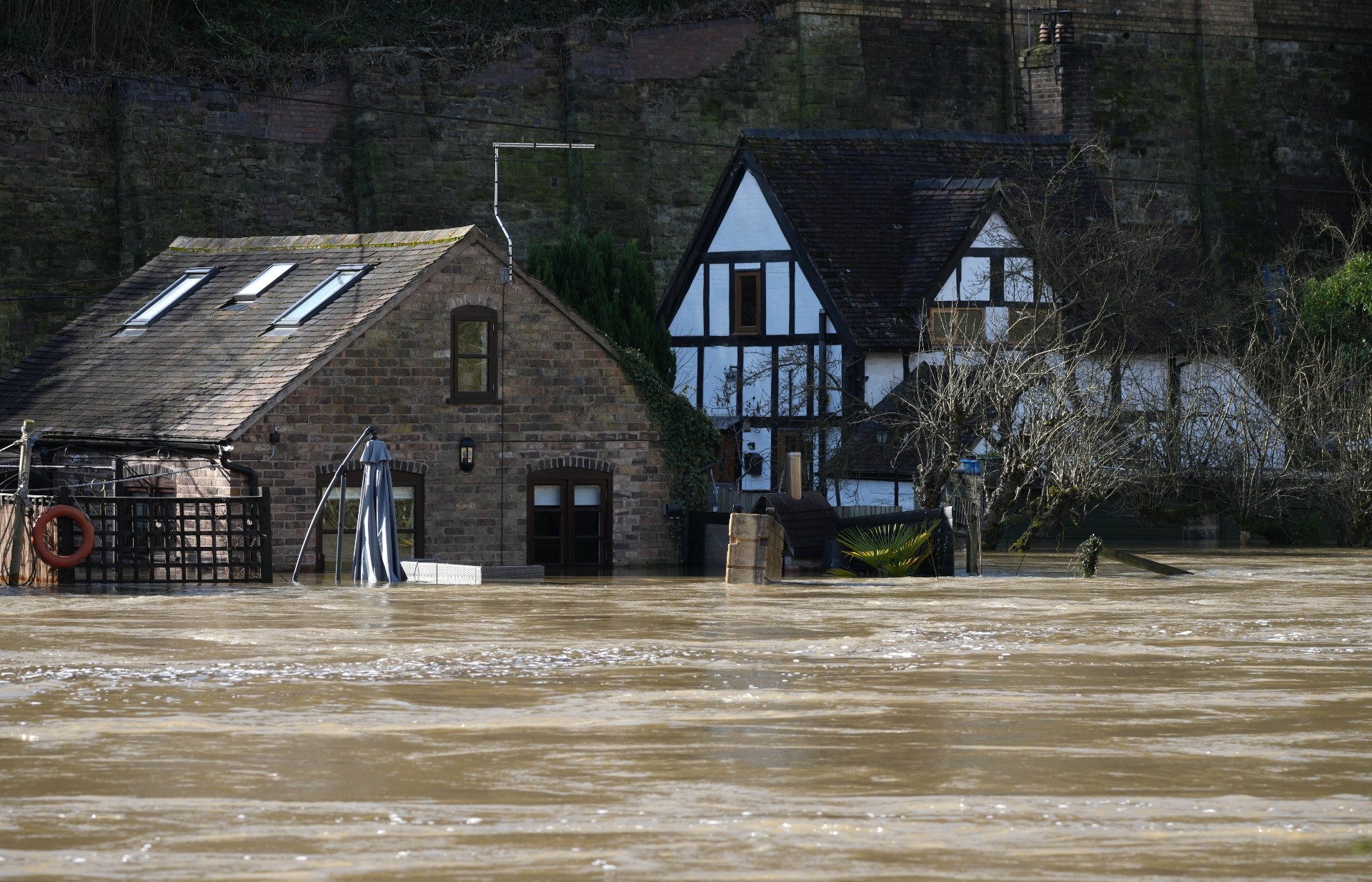
Homes surrounded by flood water from the River Severn after successive storms hit the UK on February 22, 2022.
"Whether the winds will be strong enough to warrant the Met Office naming another storm is a bit uncertain. Warnings are usually issued based on the risk of disruption/hazardous weather, so I think the question is will it become significantly windier than normal. If so then warnings are likely, and I wouldn't rule out a named storm,” Greg added.
So it seems that Storm Gladys could possibly follow on from Storm Franklin if conditions do develop and warnings are updated.
What are the current safety warnings for Storm Gladys and what precautions are advised?
Anyone wondering when is Storm Gladys due to hit the UK is likely also considering what precautions could be taken. For those living near the River Severn at Wribbenhall, the EA have revealed that it’s “strongly recommended” that residents evacuate from behind the defences due to the risk to life posed by the flooding. They declared that people “need to take action immediately” to implement emergency flood plans as they expect the severe flooding to homes and main roads to continue.
Whilst anyone living near the river at the Wharfage have been recommended to remain out of the area behind the defences due to the risk. The EA shared that the barrier system is a temporary structure and cannot be guaranteed to perform, as they suggest seeking advice from emergency services when needed.
There are several #flood warnings in place across the country.Make sure you understand what the different warning levels mean: https://t.co/QrzLJbY4Bc#PrepareActSurvive #Storms pic.twitter.com/qENrpa5eMuFebruary 22, 2022
At the moment no amber or red weather warnings are in place for snow or wind for the UK over the coming days. Though it’s thought travel disruption could occur, meaning it’s likely a good idea to allow extra time for essential journeys over the next few days or make alternative travel arrangements if you can.
If Storm Gladys is named and the impact is forecast to become more severe, then the Met Office has provided guidance on what to do before a storm hits. They suggest securing loose objects like ladders or garden furniture that could cause damage to windows if blown, as well as to close and securely fasten all doors and windows, including those on garages.

The aftermath of a fallen tree that has split in two in Victoria Park after Storm Eunice.
The forecasting service also advises parking vehicles in a garage or keeping them clear of buildings, trees and fences. Meanwhile, loft trapdoors with bolts should be closed and secured and beds should be moved away from areas directly below chimney stacks in poor condition.
Now you know when is Storm Gladys due to hit the UK and the warnings currently in place for certain areas, it’s important to keep updated as the snow, lightning, flooding and winds could all develop over the coming hours and days.
Emma is a Royal Editor with eight years experience working in publishing. She specialises in the British Royal Family, ranging from protocol to outfits. Alongside putting her royal knowledge to good use, Emma knows all there is to know about the latest TV shows on the BBC, ITV and more. When she’s not writing about the latest royal outing or unmissable show to add to your to-watch list, Emma enjoys cooking, long walks and watching yet more crime dramas!
-
 We're in awe of Sienna Miller's easy-going and 'piece-y' hairstyle and how perfect it is for spring
This laid-back hairstyle is - quite literally - making waves this season
By Naomi Jamieson
-
 We never thought we'd see this 'dated' manicure make a chic comeback, but here it is - and we're on board
Clean and angular, short square French tips are a go-to this season for a practical but stylish manicure...
By Naomi Jamieson