When is it going to snow in the UK this year and where is it confirmed?
More snow in the UK is set to make its presence felt as Met Office issue weather warnings for multiple regions and temperatures plummet
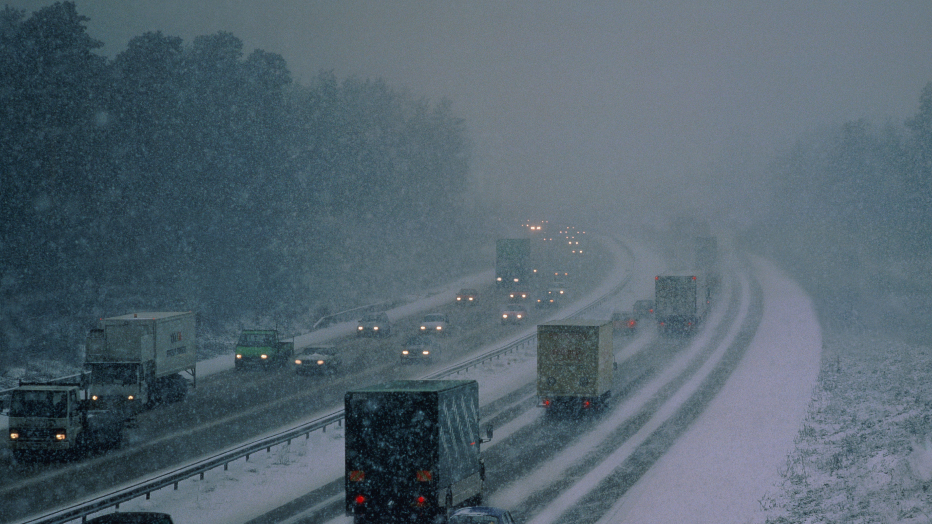

There’s more snow in the UK on the way as the Met Office warns of potential travel disruption and flurries falling across much of the country.
Following days of bitterly cold weather it seems that there’s yet more snow in the UK forecast for the coming days. You might want to hold off putting away your best cashmere sweaters and best winter boots ready for spring as snow and ice Met Office warnings are in place for the majority of UK regions. Although the accumulations of snow in different areas are expected to vary, overnight ice, chilly winds and flurries could potentially make travel a little trickier and wrapping up warm outside remains important.
But where is it going to snow in the UK and where could be most affected? We reveal what you need to know about the return of the flurries…
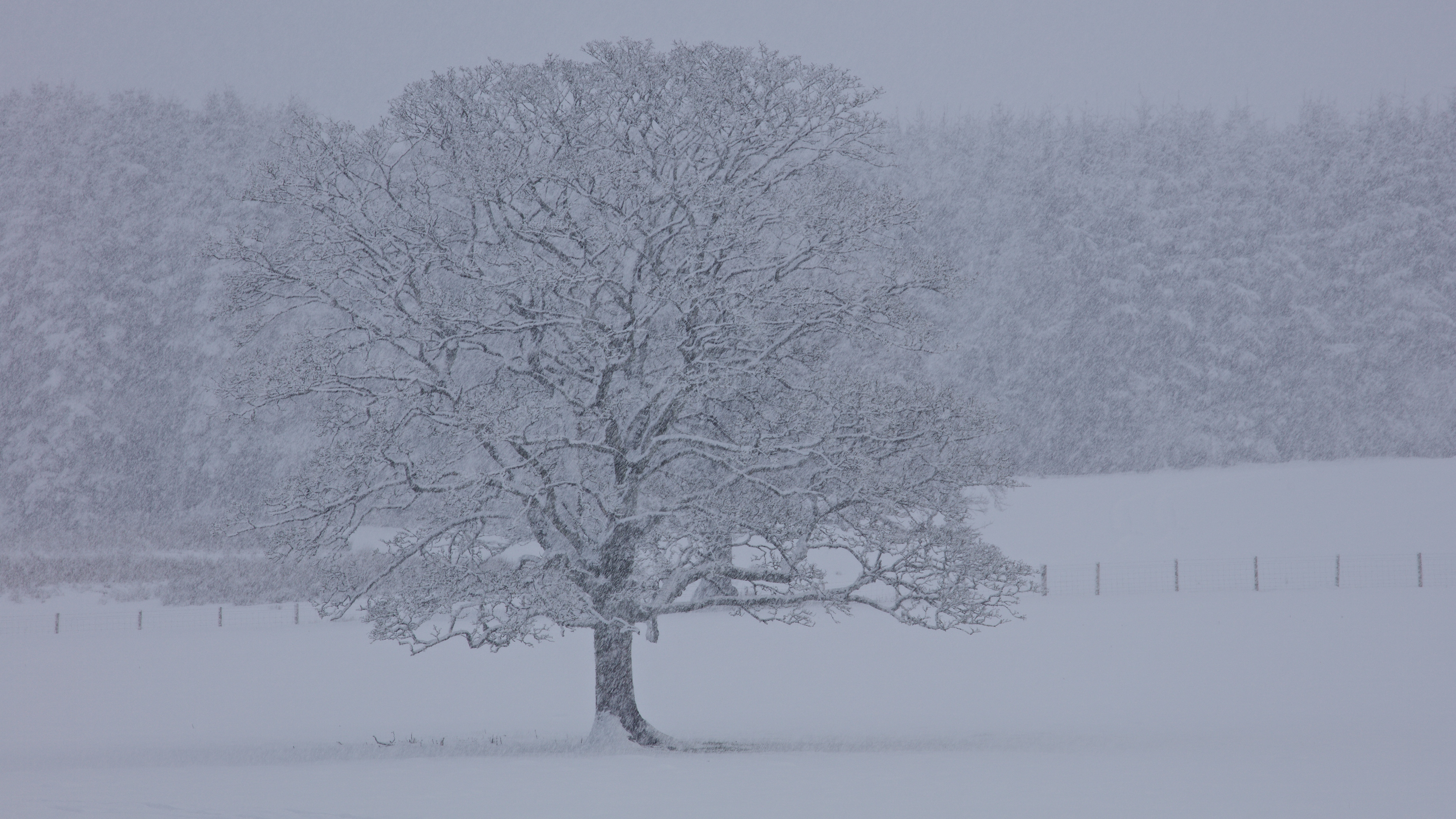
Wintry Landscape During Snowfall
When is it going to snow in the UK this year and where?
Just when many of us might have been looking forward to the start of the warmer weather it seems that our best electric blankets and best fleeces are still very much needed as things turn bitterly cold once again. The Met Office currently have several Yellow Weather Warnings in place for ice and snow in the UK - including in the south of England which rarely gets any major snowfall compared to northern regions.
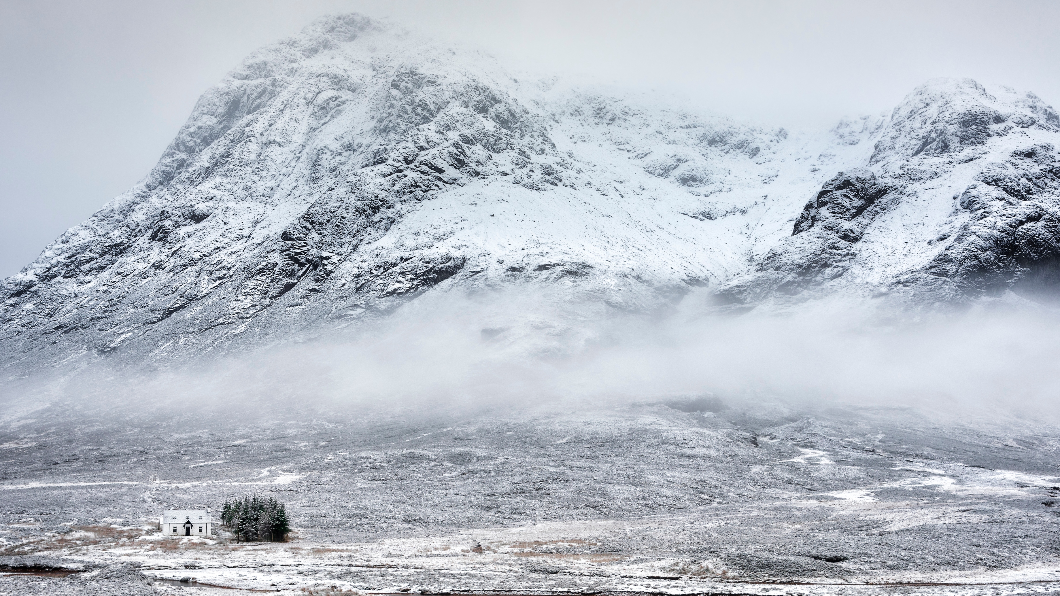
Remote cottage in the snow in Glencoe
One of the widespread warnings is for the East and West Midlands, London and the South East of England, South West England, Wales, the East of England. Whilst more Yellow Warnings are in place for Northern Ireland and for North East England, Yorkshire, South West Scotland, the Orkney and Shetland Islands, the Highlands and Eilean Siar, Grampian and Central, Tayside and Fife in Scotland.
All of these three current warnings are in place until Tuesday, March 7, though the one covering Scotland and Northern England is set to remain in effect until March 8. The Met Office warns that over the evening of March 6 rain will “edge southwards” and this will turn to snow in the UK on the hills and potentially also at lower levels in the southern areas covered by a warning.
A snow warning has begun for northeastern parts of Scotland - stay #WeatherAware ⚠️Latest info 👉 https://t.co/QwDLMfRBfs pic.twitter.com/q0VKHsgKFcMarch 5, 2023
They state that “many areas” will experience “little or no accumulations of snow”, though 1-2 cm could settle. The forecast suggests that the skies will clear overnight and the snow could turn “light and patchy” as it disappears from the south, though ice could likely “form readily” on untreated surfaces.
Sign up for the woman&home newsletter
Sign up to our free daily email for the latest royal and entertainment news, interesting opinion, expert advice on styling and beauty trends, and no-nonsense guides to the health and wellness questions you want answered.
In contrast, in Scotland and Northern England the highest accumulations of snow in the UK could be between 5-10 cm in Northern Scotland and there could even be 2-5cm “even at lower levels”. They state that ice is also likely to form overnight where the snow has melted by day. In Northern Ireland, 1-2 cm could settle after snow and hail showers on March 6 and icy stretches are also expected.
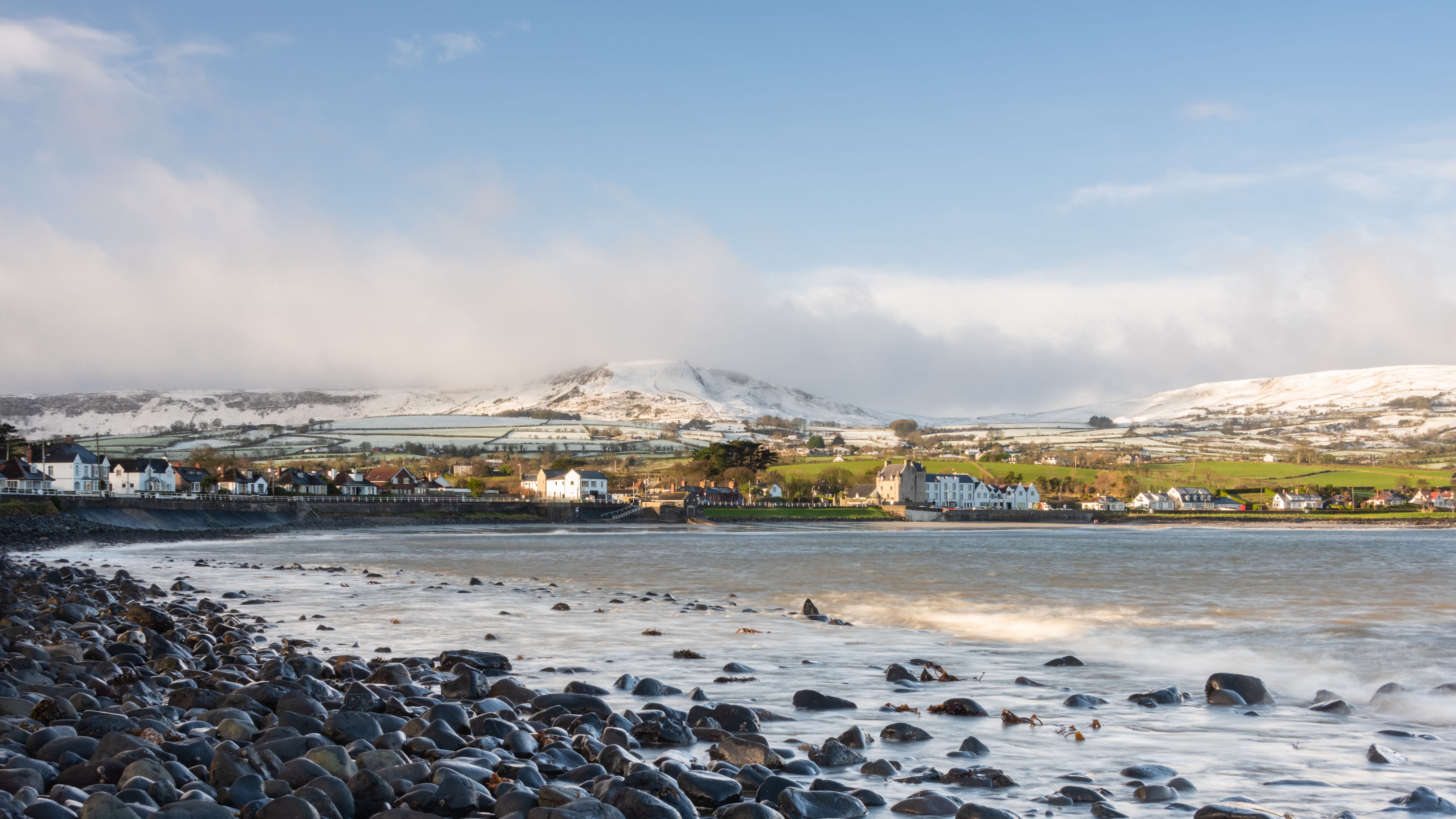
Snow on the Antrim Hills above Ballygally
Meanwhile, BBC Weather’s Carol Kirkwood has also echoed the Met Office’s current predictions for snow in the UK. In their One Minute Forecast, she said that the snow could fall “potentially as far south as southern England”.
“Cold air is digging in with increasing amounts of wintry showers across the north of Scotland,” Carol explained, before adding that later on overnight “around the coasts especially” there could be more wintry showers.
Ultimately, it seems that there could be some degree of snow in the UK in most regions over the next few days. However the amount of settled snow could vary hugely and some areas apparently might not see any flurries at all. Either way, it seems the UK is in for a bitterly cold start to March.
Will it snow anywhere else in the UK?
Already the predicted snow in the UK is forecast to be much more widespread than we’ve experienced so far in 2023 when it was generally confined to Scotland. Over the coming days the South East and South West are expected to potentially see some flurries too. According to BBC Weather’s Carol Kirkwood from March 7 the weather is set to turn dryer in the south, however, whilst this might take a little longer in the north of the country.
“Still the wintry showers in areas exposed to the northerly wind,” she said. “And these are our temperatures - one to seven or eight degrees. But feeling colder in the wind.”
Here's Carol Kirkwood with our latest one-minute forecast ⤵️ pic.twitter.com/qd2mOsctPKMarch 6, 2023
And this colder weather is sadly something we might have to remain used to over March as April approaches. The Met Office’s long-range forecast for March 10-March 19 states that “confidence remains low” in this period but there is a “small chance of more disruptive snowfall, particularly over hills” on March 10 in the “far north”.
Towards the end of this period they are suggesting that more “unsettled conditions” could follow and that the risk of snow in the UK for periods remains “possible, particularly in the far north”. Although confidence is still “very low” from March 20-April 3, there is a “lower risk of snow at times” in the south then too and "occasional wintry showers" in the north.
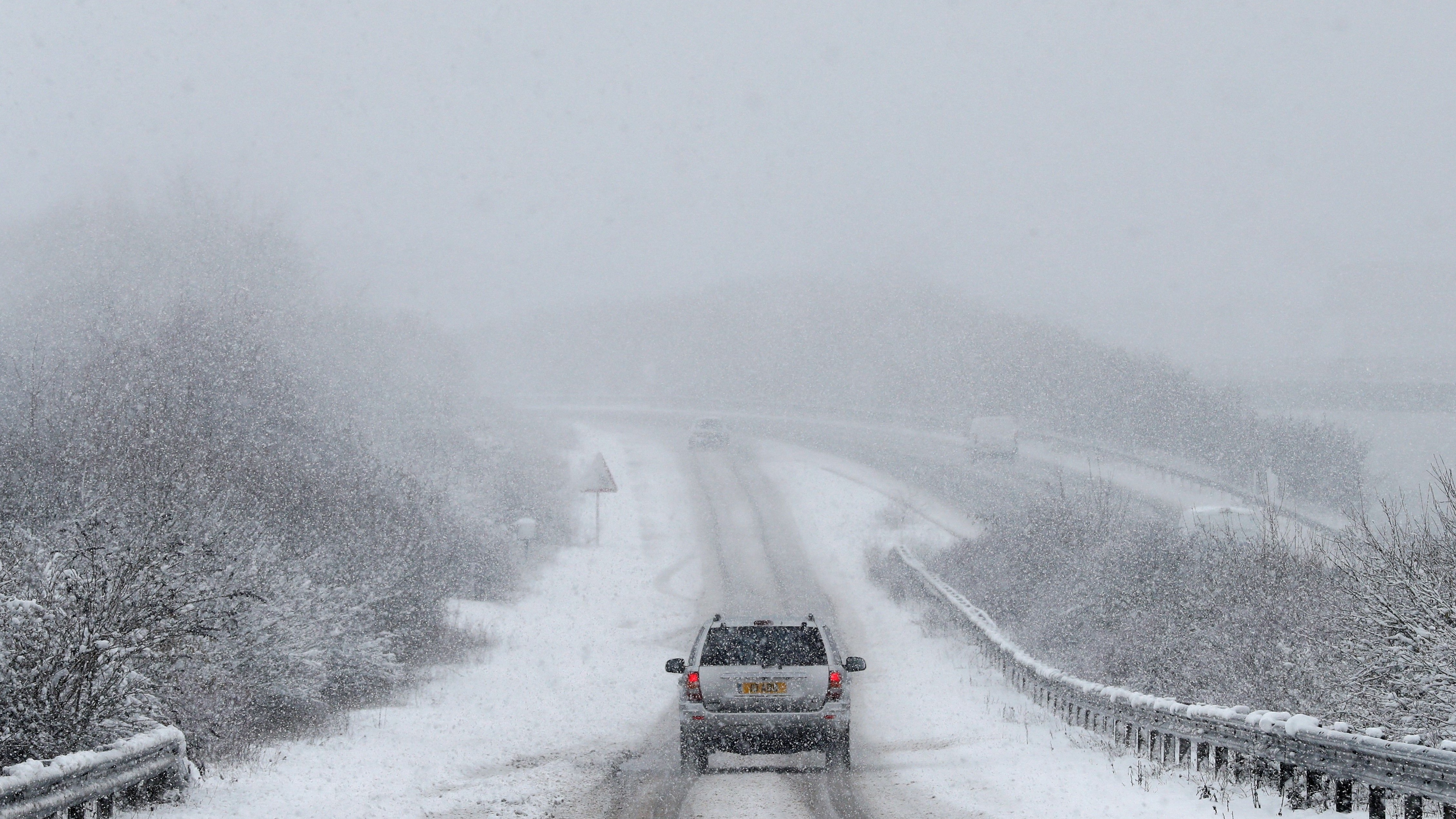
Car on a snowy slip road leading to the A34
“Temperatures will likely fluctuate between cold and mild, north to south, but will probably average out around normal,” the forecast stated.
The coming snow in the UK could perhaps have the highest chance of being relatively widespread as looking ahead to the rest of March the risk of snow is lower and more likely over hills. Despite this it seems it’s possible that the flurries might continue to fall over the coming weeks and that the temperature could remain colder in some areas amid unsettled conditions.
Will it snow in London 2023?
Londoners rarely get a glimpse of any snow in the UK but after the arrival of some flurries pre-Christmas the capital is forecast to experience more over the first full week of March. London is included with the South East of England in one of the Met Office's Yellow Weather Warnings, which predicts that ice and some snow could lead to "difficult travel conditions in places".
However, London isn’t one of the areas that often has a high level of snow in the UK. The Met Office reports that statistically, the place that most often experiences snow in the UK is the Cairngorms in Scotland.
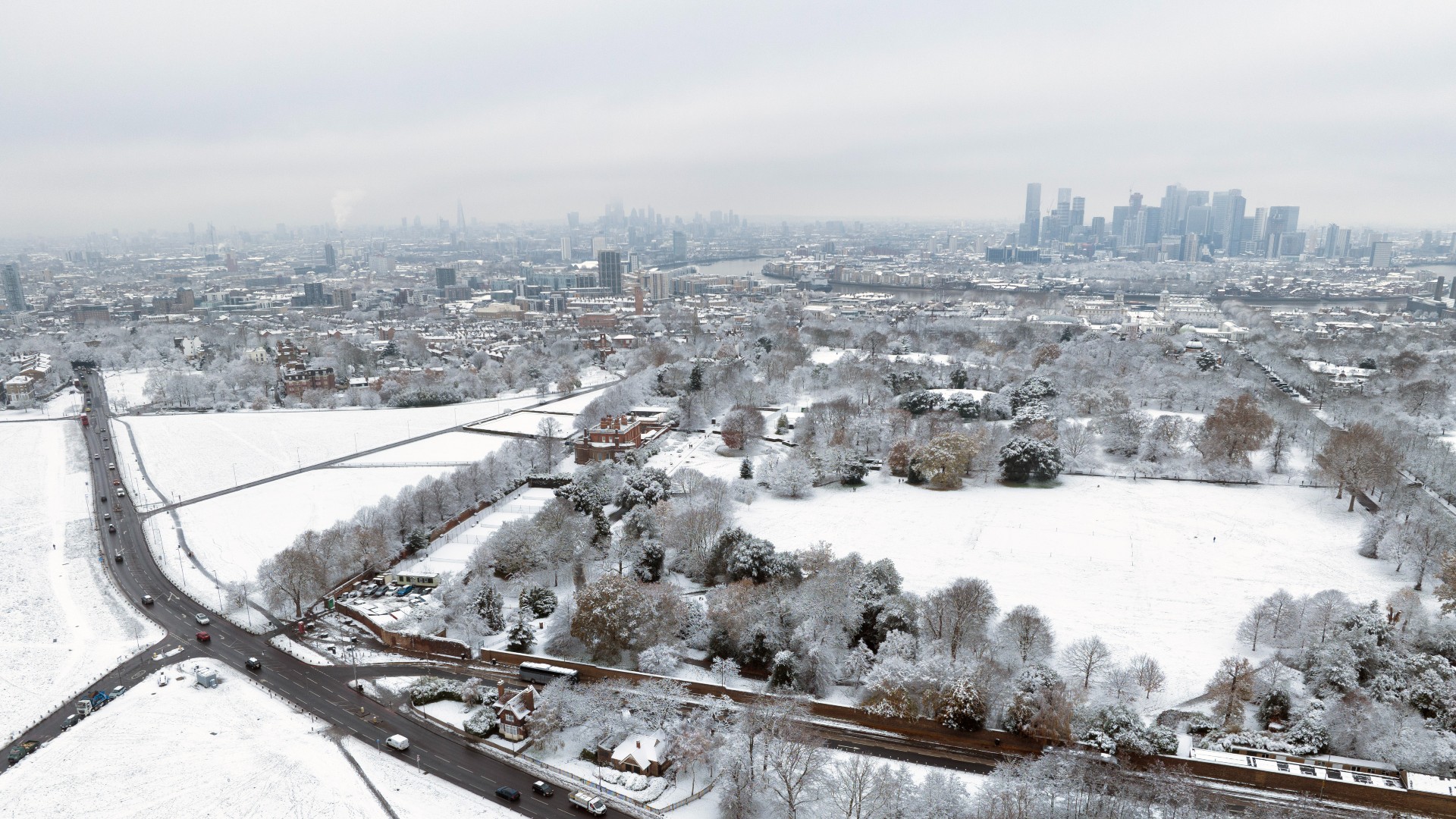
An aerial view across Greenwich Park to the Isle of Dogs after snow fell on December 12, 2022 in London
Here there's an average of 76.2 days of snow or sleet falling, whilst in contrast, the possibility of seeing significant snowfall in London is much smaller. According to World Atlas, data from the Met Office has shown that the central parts of London actually experience less than 10 days of snow or sleet each year and that for these few days, the snow rarely settles.
The outskirts of London as well as areas with higher altitudes tend to get more snow, as the urban centre of the capital often has a higher temperature. This causes snow to melt more quickly and makes it unlikely that snowflakes will settle.
Between January and March, snow in the UK is also more common regardless of area, meaning there is some hope for those who are eager to see flakes settle in the city. In previous years, London has seen some seriously major early-year snowfall - after all, who could forget the Beast from the East in March 2018?
This arctic snow storm blew in, leaving transport struggling to keep moving through the shocking conditions. However, this staggering level of forecast has currently not yet been forecast by the Met Office and the conditions set to be felt over the next week are mainly rain and breezy weather with dry spells.
How cold does it have to be to snow?
Although many might think it has to be bitterly cold before we start seeing snow in the UK, it actually only has to be below two degrees centigrade to snow. According to the Met Office, precipitation in the air falls as snow when the temperature of the air is below this and they state that the thought that it has to be below zero degrees centigrade is a myth. The weather forecasting service suggests that the times that Brits have experienced the most heavy snow in the UK tend to be when the temperature is between zero and two degrees.
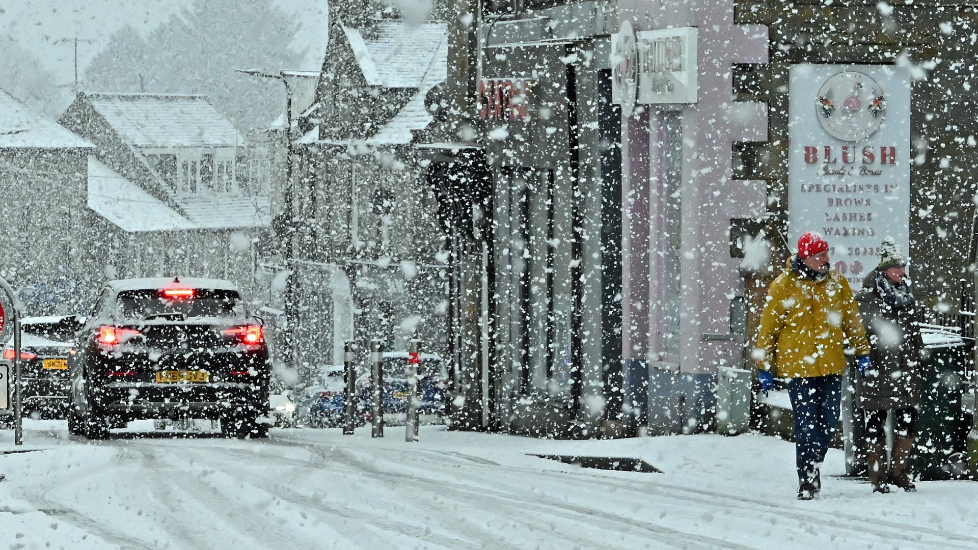
Falling snow in Kinross, Scotland
Although falling snow starts melting as soon as the temperature is above freezing, the air around the snowflake is cooled as this process begins. As often happens in winter in the UK, however, if the temperature is icy cold but warmer than two degrees, then the snowflake will fall as sleet and as the temperature gets higher, this is when the precipitation will only fall as rain.
Spring hasn't yet sprung and there's set to be more snow in the UK over the coming days across huge swathes of the country. Some regions are forecast to experience more settled snow than others, however many of us will likely be dreaming of spring as the colder conditions continue everywhere in early March.
Emma is a Royal Editor with eight years experience working in publishing. She specialises in the British Royal Family, ranging from protocol to outfits. Alongside putting her royal knowledge to good use, Emma knows all there is to know about the latest TV shows on the BBC, ITV and more. When she’s not writing about the latest royal outing or unmissable show to add to your to-watch list, Emma enjoys cooking, long walks and watching yet more crime dramas!
-
 Dr Amir Khan reveals the 5 symptoms you should 'never' ignore, no matter how 'vague' they are
Dr Amir Khan, a GP who often appears on ITV's Lorraine, took to Instagram this week to share the symptoms he'll always take a second look at
By Grace Walsh
-
 Head to Hobbs for holiday-ready linen and the most elegant summer dresses you’ll find on the high street
Wondering where to shop for a chic summer wardrobe? Hobbs has you covered
By Caroline Parr