What is thundersnow, what causes it and where in the US will it hit?
Thundersnow might be a rare phenomenon but that doesn’t mean that there’s no chance of experiencing these bitter conditions this winter…
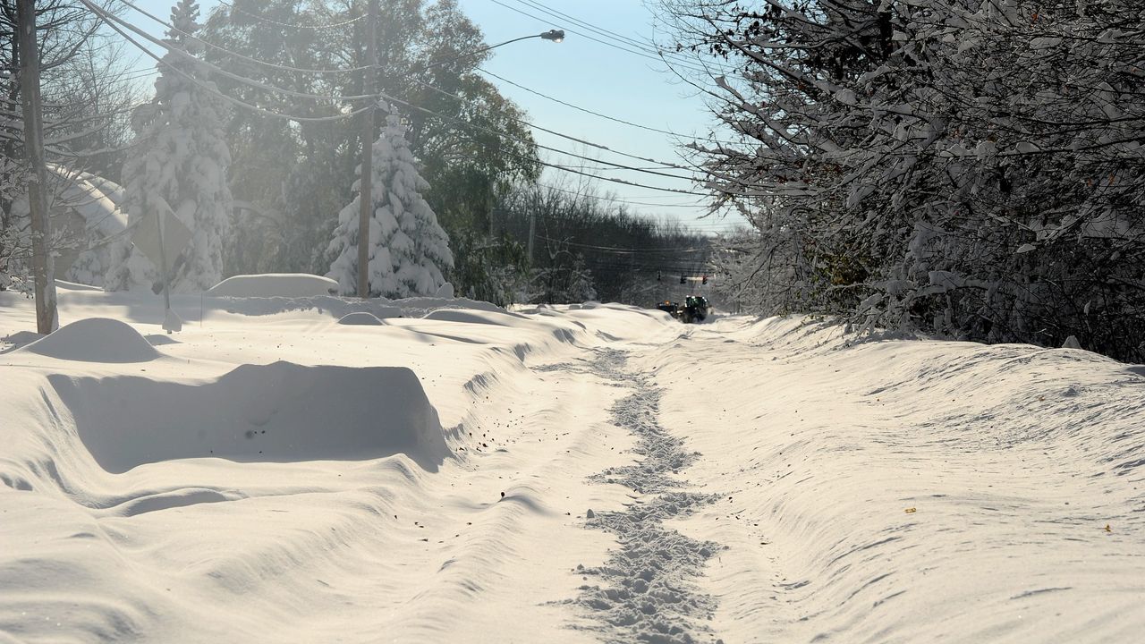

Thundersnow has made its presence known in parts of the United States already this autumn-winter and some people might be wondering exactly what this rare phenomenon is.
With the countdown to Christmas almost here, the time for snuggling up with one of the best electric blankets and donning your best cashmere sweaters to keep warm is upon us. The weather outside has definitely been frightful and in recent days certain areas of the United States have been facing something even more intense than usual. Thundersnow arrived and this phenomenon brought with it forecasts of two-four inches of snow per hour.
Here we reveal what thundersnow is, what causes it and where in the US it’s forecast to affect…
What is thundersnow and what causes it?
From the moment the Farmers’ Almanac Winter 2022 predictions were unveiled many of us were likely looking ahead to a particularly snow-heavy season and nothing says major cold snap quite like thundersnow. This freezing phenomenon might not be as well-known to everyone but, just as the name suggests, thundersnow is simply snowfall that occurs during a thunderstorm.
Thundersnow is rare and conditions have to be quite specific, involving an air mass becoming so unstable that it overturns. According to Farmers’ Almanac this tends to happen when air of vastly different temperatures collide, like when the air closer to the ground is warmer and more humid than the air lying directly above it.
During the winter the lower layers of air tend to be colder meaning that the likelihood of two air temperatures clashing is more unusual at this time of year. However, thundersnow is more common in certain areas where cold air blows across milder water or follows a warmer front, which forces the air upwards fast enough to cause major instability, leading to lightning, thunder and heavy snow.
What is the difference between thundersnow and a thunderstorm?
Just as their names are similar, thundersnow and thunderstorms are also incredibly alike with the main difference being the presence of snow rather than rain with the thundersnow phenomenon. Instead of the primary precipitation being rain as we see with thunderstorms, the moisture in the air has reached a low enough temperature to become snow in a thundersnow event.
Sign up for the woman&home newsletter
Sign up to our free daily email for the latest royal and entertainment news, interesting opinion, expert advice on styling and beauty trends, and no-nonsense guides to the health and wellness questions you want answered.
Though there are a few other slight differences between thundersnow and the more common thunderstorms we experience each year. During a night-time thundersnow event the lightning can reportedly look a little brighter due to the light reflecting off the snowflakes. The thunder can also sound a little fainter due to the snow muffling some of the sound, making the thunder component of thundersnow harder to hear and for us to know that the phenomenon is taking place.
Where is thundersnow forecast in the United States?
Thundersnow has already arrived in parts of the US this month, with Buffalo hit by this phenomenon on November 18 coming off Lake Erie. Meteorologists were also forecasting that thundersnow was possible for Michigan that weekend. However, there is not currently a forecast for more thundersnow as of yet.
Instead, there’s currently a NWS Winter Weather Advisory warning for large amounts of snow in Seattle with it expected to reach over 3000 feet by November 23rd. The NSW also added that snowfall will occur on November 22 over the northern Cascades and that around 0.1 inches of freezing rain and sleet could accumulate over east-central Washington.
Where is thundersnow most common?
Although thundersnow is relatively rare, there are certain areas of the country where it is more likely to occur. According to Farmers’ Almanac the Great Lakes region which includes parts of both the US and Canada surrounding the Great Lakes of Superior, Michigan, Huron, Erie and Ontario. This is because these huge bodies of water can often be comparatively mild and when cold air sweeps across the lakes, this can force air upwards rapidly. This then can ultimately lead to instability, lightning, thunder and, of course, snow.
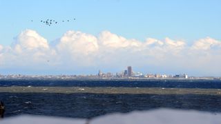
But the Great Lakes region isn’t the only place where the thundersnow phenomenon is most common. The same thing can reportedly sometimes happen in other areas, particularly along the North East coast of the US, when a freezing cold Nor’Easter arrives following a warmer front.
A Nor’Easter is a storm that occurs over the East coast of the US and although they can occur at any time of year, as per the National Weather Service, they are at their most violent between September-April. One particularly unforgettable Nor’Easter includes the 1888 Blizzard and the winds in this coastal area typically come from the north east.
Emma is a Royal Editor with eight years experience working in publishing. She specialises in the British Royal Family, ranging from protocol to outfits. Alongside putting her royal knowledge to good use, Emma knows all there is to know about the latest TV shows on the BBC, ITV and more. When she’s not writing about the latest royal outing or unmissable show to add to your to-watch list, Emma enjoys cooking, long walks and watching yet more crime dramas!
-
 Trinny Woodall's easy styling tricks are helping us get the quiet luxury look on a budget
You don't need to break the bank to get a high-end look
By Charlie Elizabeth Culverhouse Published
-
 The secret behind Gillian Anderson’s chic, long-lasting eye makeup look is… lipstick
Her makeup trick might seem unusual, but it's actually very handy
By Charlie Elizabeth Culverhouse Published
